


Walking, Hiking and Cycling Tracks
Walking & Hiking
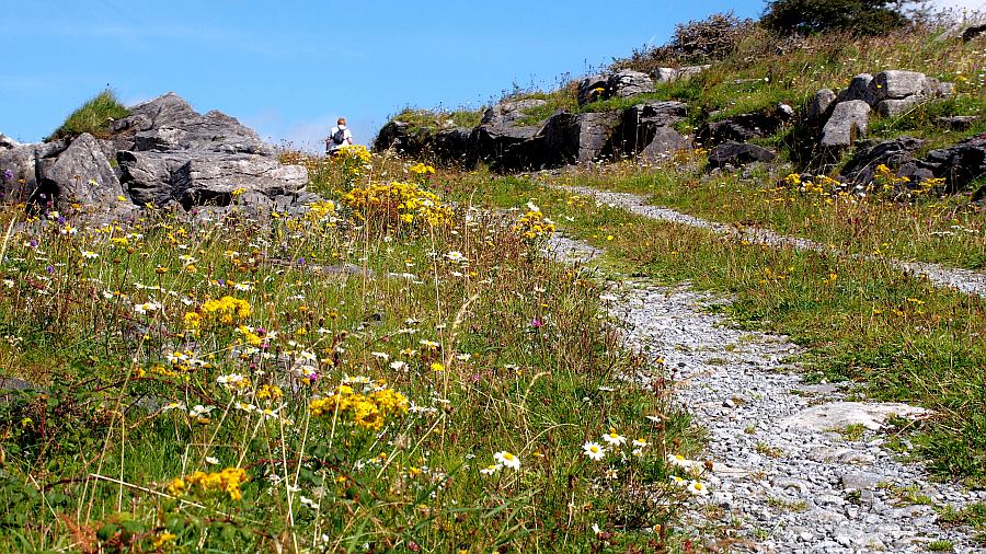
The most enjoyable and scenic walks lead along the beaches and the cliffs of our coastline. Recommended Walks include a number of National loop walks and trailsas well as Slí na Sláinte Walks (signposted, in several Clare villages). If you like it less spectacular enjoy walking along quietback country roads or on forest walks on the hills between Cree and Kilmaley (scenic route); in Kilrush's Vandeleur Garden and in the Dromore woods close to Ennis. For the hiking enthusiast well organised scenic country routes are established throughout Clare:
- The Burren way
from Lahinch via the Cliffs of Moher Walk to Doolin and further on to Ballyvaughan with an extension to the Burren National Park over the lunar landscape of the Burren
- the Mid Clare Way
a 140 km walking route, linking to the East Clare Way at Tulla - The Lough Derg Way
50 km along the banks of the River Shannon, starting from Limerick
The Burren Experience

Heritage, nature and spiritual walks in the Burren National Park [more...]
The Cliffs of Moher/Doolin Walk
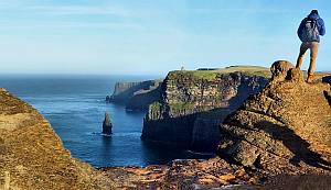
The 12km coastal path takes walkers from Hags Head outside Liscannor Village along by the iconic Cliffs Of Moher and into the village of Doolin. Trailheads with mapboards and designated parking for walkers are located at Moher Sports Field outside Liscannor village, Doolin Community centre outside Doolin village, and at the Cliffs of Moher Visitor Centre.
A map of the walk as well as additional information can be found here (External link)
Cycling
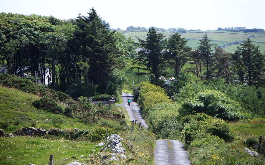
The best way to get around our region is by bicycle ! Quiet traffic-free side roads and country lanes allow you plenty of perspectives for a deeper insight into the beauty of the country and its people!
Cycle routes include:
- West Clare Cycleway (70 km), Loop Head Cycleway (65 km), Dolphin Cycleway (27 km), Burren Cycleway (70 km), Dolmen Cycleway (45 km)
Bikes can be hired in Kilrush (Gleeson's), Kilkee (Williams Hardware), Miltown Malbay, Kilfenora, Doolin and Ballyvaughan. Find out more about individual cycle hubs here (External Link)